To access data on Armenia’s subsoil, you will no longer need to pay for services.
At geo-fund.am, you can find information on more than 1,400 Armenia’s metallic and non-metallic mines, mineral occurrences, and groundwater.
According to Adviser to the the Chief of Government Staff, head of Improving the Transparency of the Mining Industry project Lilya Shushanyan, the Armenian government together with USAID as part of the aforementioned project including assisting Armenia in joining the Extractive Industries Transparency Initiative (EITI) is implementing the digitization of the geological fund.
This, according to her, will foster the industry’s transparency, which in turn may lead to an increase in accountability.
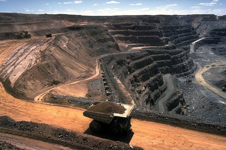
The Republican Geological Fund was established in 2002. All the information about Armenia’s subsoil can be found here.
“If we look at it from a chronological perspective, kept in the fund are almost all the geological surveys conducted in the country from the last century to date, and all geological and other information acquired during mine exploitation. And it’s clear that the physical preservation of materials stored on paper has been endangered over time,” she says.
Shushanyan clarifies that digitization today resolves not only the issue of preserving valuable materials, but also the government takes one step forward and makes them available online to the public, being a useful source for NGOs, journalists, businessmen, students, and researchers.
“The existence of such a portal is a huge value for any society, and you’ll have a hard time finding such websites even in developed countries,” she says.
In her words, the millions of digitized pages on the portal are placed without restrictions and free of charge, while one has to pay 4,500 AMD (about US$9.37) to read any material at the fund’s reading room today. Taking into account the huge data repository stored on the portal — also created to ensure ease of access to materials are an interactive map and the corresponding materials (issued permits, reports, with their maps, graphic packages, and so on) have been affixed in a coordinated fashion to the corresponding territories in the Republic of Armenia.
The unified portal offers the opportunity to download, print, and share the materials.
At geo-fund.am, you can also find the passports of mines and ore occurrences. The issued permits section includes the numbers of the licenses issued for the companies working in the sector, and their issue and valid until dates.
Digitalization continues and the fund will be completely digitized by the end of 2017.
“Simultaneously underway in the country today are several processes aimed at sector transparency and governance that complement each other. For example, also in the fund are mining industry contracts, which likewise will be digitized, and if the EITI group decides that those contracts should also be published, then they will already be ready for publishing on the portal,” says Shushanyan.
Among the responsibilities assumed through EITI are also opening financial data on the mining industry and revealing the industry’s real owners.
In Shushanyan’s words, geo-fund.am can be only a useful source for the EITI group, and EITI will most likely have a separate website.
In any case, information useful for journalism investigations should not be edited and should be completely open.
Anahit Danielyan